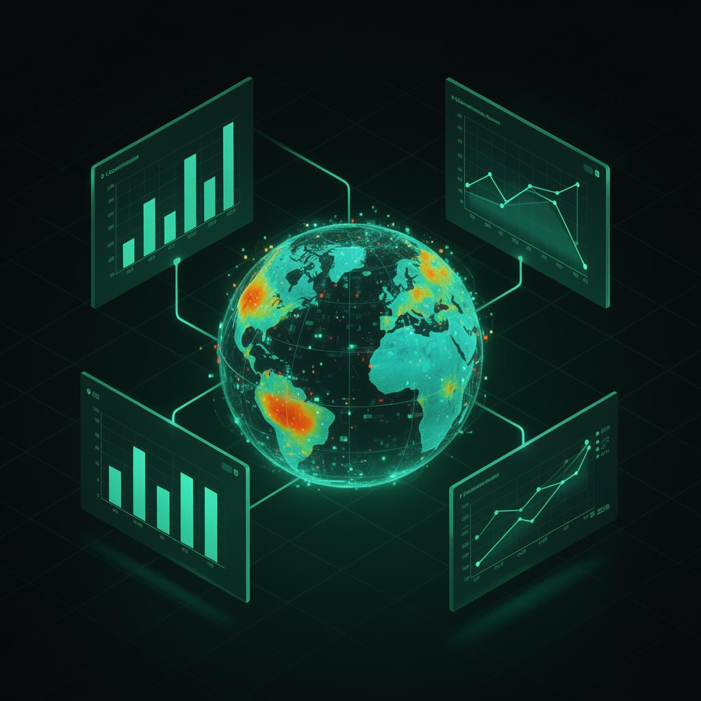
Pipeline and inspection data arrive from C++ and Python backends in volumes that do not belong in the DOM all at once. The dashboard job is to make that data explorable: maps for spatial context, charts and tables for detail, without freezing the thread.
Google Maps became the geographic anchor: routes, defects, and annotations need to stay in sync with filtered datasets. We cache tiles and debounce heavy overlays so panning stays smooth when engineers drill into long segments.
Vuex (or a predictable store) keeps streaming updates coherent across panels. When one view updates a filter, every dependent visualization receives the same normalized state instead of ad-hoc events.
Lazy lists and virtualization handle long inspection logs; the goal is that field teams get a responsive tool even when the underlying exports are huge–meeting engineers where they work, not where the spreadsheet stopped.